Central Italy

Italy Central

Regions

“Rome’s Heartland”

The center of the Italian peninsula was home to three major ancient civilizations: The Etruscans (Tuscany/northern Lazio), the Umbrians (Umbria, Marche), and, of course, the Latins (Lazio). The enigmatic Etruscans initially dominated this region, and were the first rulers of the city-state of Rome. Rome then revolted against their Etruscan king in 509 BCE, established a Republic, and almost immediately began making war upon their former masters. After about a century and a half, the Etruscans, Umbrians, and Latins were all slowly absorbed into the Roman Republic.

The proximity to the capital meant that these regions benefited the most from the empire’s wealth. The homeland of the Etruscans, now Tuscany, did not look like the Renaissance-sculpted landscape you will see today, though modern-day citizens still hold Etruscan festivals. I’ll do my best to add Etruscan sites as the site develops.

I have decided to give Rome it’s own page, so please click on that for the full smorgasbord. 

Lazio

Minturnae

Location

About two hours south of Rome on the Via Appia, on the way to Naples.

History

Originally a town of the Ausones, it was conquered and made into a colonia in 296 BCE. It was abandoned in the 8th century CE after being sacked. The locals moved up to the main town today also called Minturno.

Structures

Mostly the remains of an amphitheater, a well-preserved theater, and an aqueduct bridge, as well as the Via Appia itself and remains of the forum.


A detailed breakdown can be found at these two sites:


South Lazio Italy


Tufts University

Logistics

Make sure to go to the Minturno Archaeological District, a bit removed from the actual town and on the coast.

Necropoli della Banditaccia

Location

About 45 minutes northwest of Rome near the town of Cerveteri.

History

A true city of the dead, the Etruscans spent hundreds of years building it prior to the Roman conquests in the 4th and 3rd century BCE.

Structures

The largest surviving necropolis in the Mediterranean, it is divided into various sectors:

  • Old and New Enclosure
  • Del Comune
  • Autostrada
Logistics

Descriptions of the site and logistics on how to get there can be found on Siti Archaeologici d’Italia’s site.

Necropoli di Tarquinia

Location

About an hour northwest of Rome, in the north of Lazio.

History

A burial site of the ancient Etruscans, this is one of the better sites of theirs that you will find in Italy.

Structures

Wikipedia has dedicated pages to some of the tombs in the necropolis! Find the links below:

For more information on the site, go to the official page (in Italian, but can be translated online).

Logistics

For more information, Lonely Planet has a nice write up, including how to get there from the city center.

Nemi (Temple of Diana)

Location

In the Alban Hills just southeast of Rome, on the shores of Lake Nemi, within a volcanic crater.

History

The Romans called the lake “Diana’s Mirror” because it reflects the full moon perfectly. The Temple of Diana Nemorensis was an ancient Roman sanctuary erected around 300 BCE and dedicated to the goddess Diana, known as Artemis in Greek mythology. The sister of Apollo, she was typically associated with the hunt and the moon. The temple was situated on the northern shore of Lake Nemi beneath the cliffs of the modern city Nemi (Latin Nemus Aricinum). It was a famous place of pilgrimage in the Italian peninsula.


More information can be found here.

Structures

A part of a portico, one votive altar, and some columns are still visible.

.

Logistics

Apparently it is free to enter. Go here for a poetic take on the site and entering it.

Ostia Antica

Location

About 30 minutes west of Rome, near the Tyrrhenian Sea. 

History

Founded in 620 BCE, it was one Rome’s major ports. Claudius and Trajan both greatly expanded the port, with its population eventually reaching 50,000-70,000 people. It is now far from the sea, thanks to silting.

Structures

There are simply too many to name. One day, I may do an overview of it, but for now, go to this site for a comprehensive listing of the major ruins: https://www.ostia-antica.org/

.

Logistics

The easiest way is by train. Make your way to Termini station and take the metro (line B) and get off at Piramide. Here, take the Roma Lido commuter train to Ostia Antica. Once at the station, all you have to do is follow the crowd. It is a 10-minute walk away.


The train to Ostia costs  1.50 (US$ 1.80) (like any other one-way journey). Since you are going to use quite a lot of public transport, you might want to buy a day pass.


It should take about 45 minutes from leaving Termini to your arrival.

Palestrina

Location

In the hills about 40 km east of Rome.

History

The whole town is built on top of the temple  of the Goddess Fortuna Primigenia. Known in ancient times as Praeneste. The town was probably founded during the 8th or 7th century BCE. It formed an early alliance with Rome in 499 BCE, but eventually betrayed Rome after it was sacked by the Gauls in the early 4th century BCE. It was defeated a few decades later by Cincinnatus, after which it became a Roman colonia.

Structures

The sanctuary of Fortuna Primigenia, a former series of terraces, exedras and porticos on four levels down the hill linked by monumental stairs and ramps. You can still see some remains in the town itself. Further down the hill, you can see a western entrance hall, known today as the Cave of Fates.


https://en.wikipedia.org/wiki/Temple_of_Fortuna_Primigenia

https://www.worldhistory.org/article/1643/sanctuary-of-fortuna-primigenia-at-palestrina/


Aside from the temple, the Museum Archeologico Nazionale houses the famous “Nile Mosaic” showing a detailed 1st century BCE view of the flooding of the Nile.

.

Logistics

Getting there can be done via car, and it takes about an hour. The link above takes you directly to the main site, with the tourist board right next door.

Sutri

Location

About an hour north of Rome, near Lago di Bracciano.

History

Known as Sutrium, it was on the road to Etruria, later the Via Cassia. After Veii was defeated by the Romans in the 4th century BCE, a Latin colony was founded at Sutrium. A colony of veterans under the triumviri was settled here. Inscriptions show that it was a place of some importance under the empire, and it is mentioned as being later occupied by the Lombards.

Structures
  • The Roman ampitheater: Much of the shape and stonework still remain, and it is open to tourists to explore.

  • Etruscan Necropolis: Pre-Roman burial chambers, carved into the rocks in the hill.


.

Logistics

You can catch a bus to Sutri from Rome at Termini. A great deal can be found on getting to Sutri, what to do, and where to stay on LifeinItaly’s website.

Temple of Jupiter Anxur

Location

Terracina, on the Tyrrhenian coast of Lazio, in between Rome and Naples.

History

Located along the ancient Via Appia in Anxur, the Volscian name for Terracina, the temple was built between the mid-2nd to mid-1st century BCE. Both Jupiter, for whom it is named, and Venus were worshipped here.

Structures

The complex consists of three terraces: the upper terrace, the middle terrace, and the lower terrace.

Logistics

This page has a nice summary of how to get there as well as some history of the site and a detailed description of it.

Via Appia

Location

From Rome to Brindisi, beginning in the Roman Forum.

History

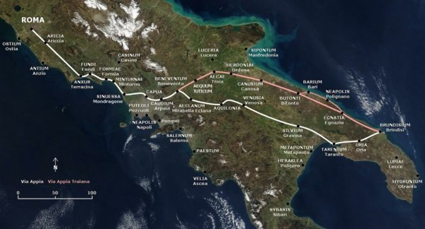
The first major Roman road extending out from Rome. Completed in 312 BCE, the road was built to assist in supplying the troops during the Second Samnite War. The Samnites were the major power of ancient Southern Italia, centered along the Apennines, and their conflicts with Ancient Rome eventually led the way to Rome’s subjugation of the entire Italian peninsula.


The major geographic barrier to Campania was the Pontine Marshes. The road was built to give a sturdy and straight pathway down south to where the majority of the conflict took place. After the war, the road was eventually extended to Brundisium (modern Brindisi) on the Adriatic coast.


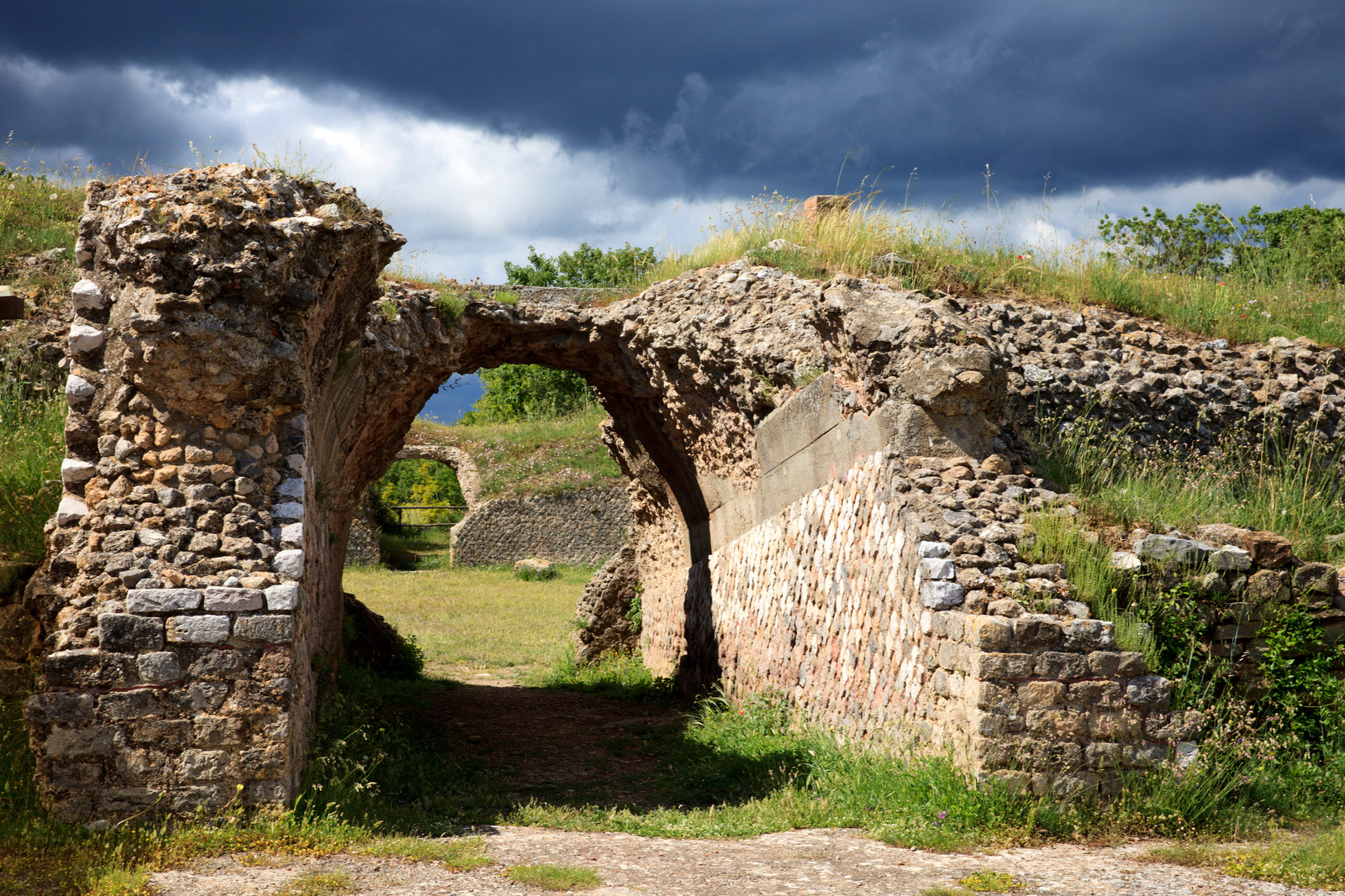
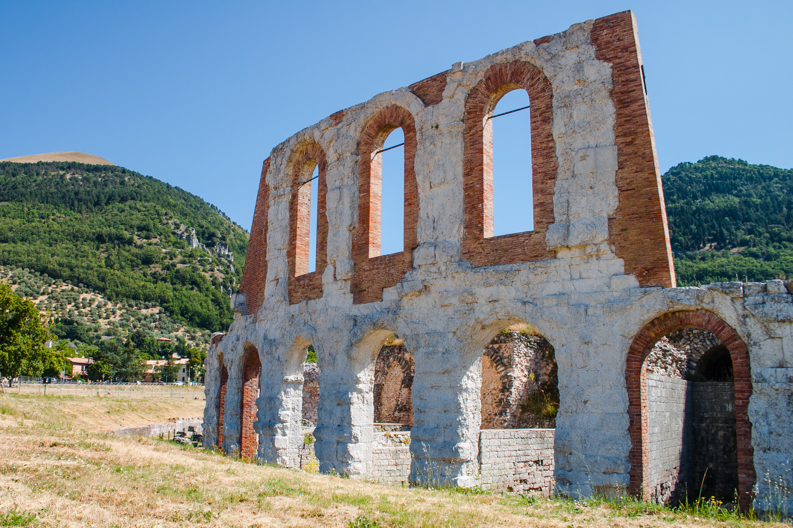
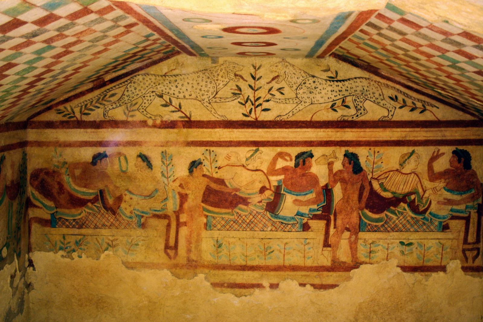
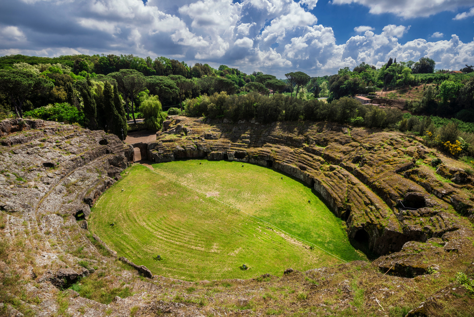
Most of the famous figures of Roman history have walked this road, from Julius Caesar to Marcus Aurelius. Spartacus and his fellow slaves were crucified along it. It is the greatest surviving example of the Roman road system.

Structures

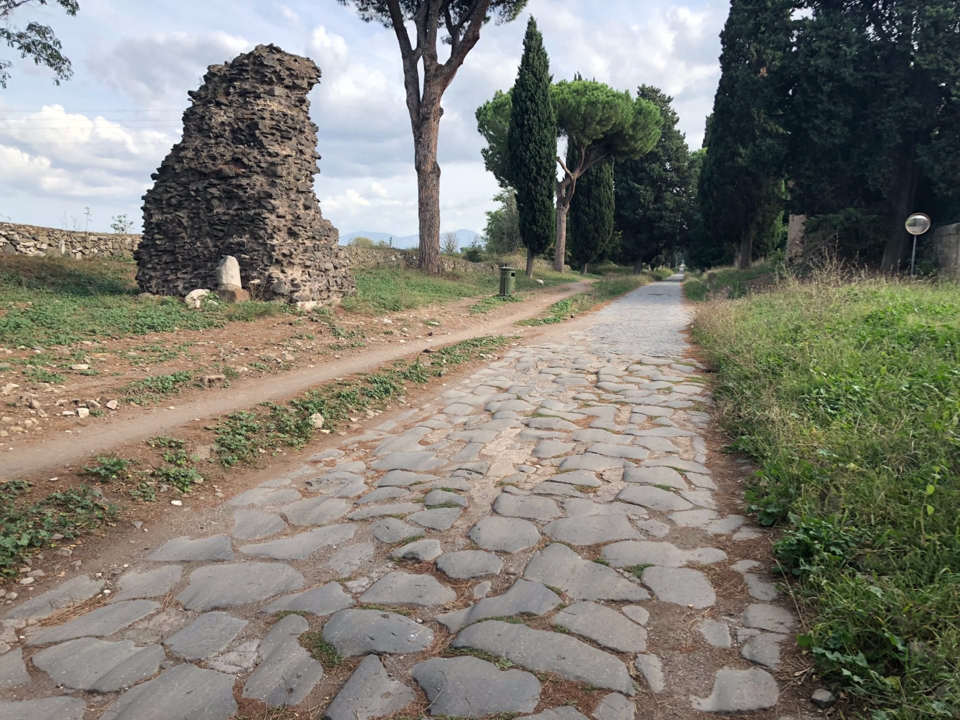
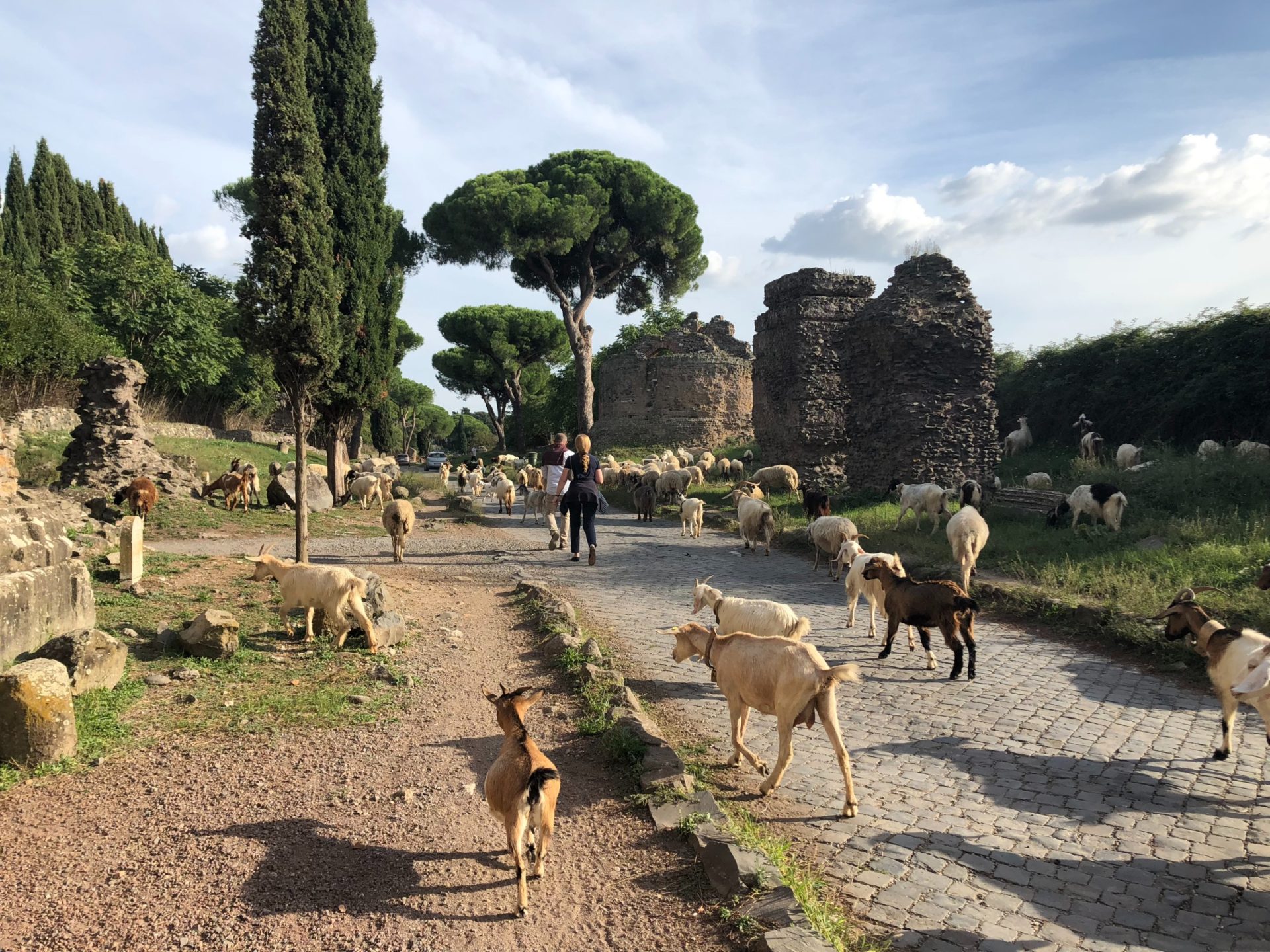
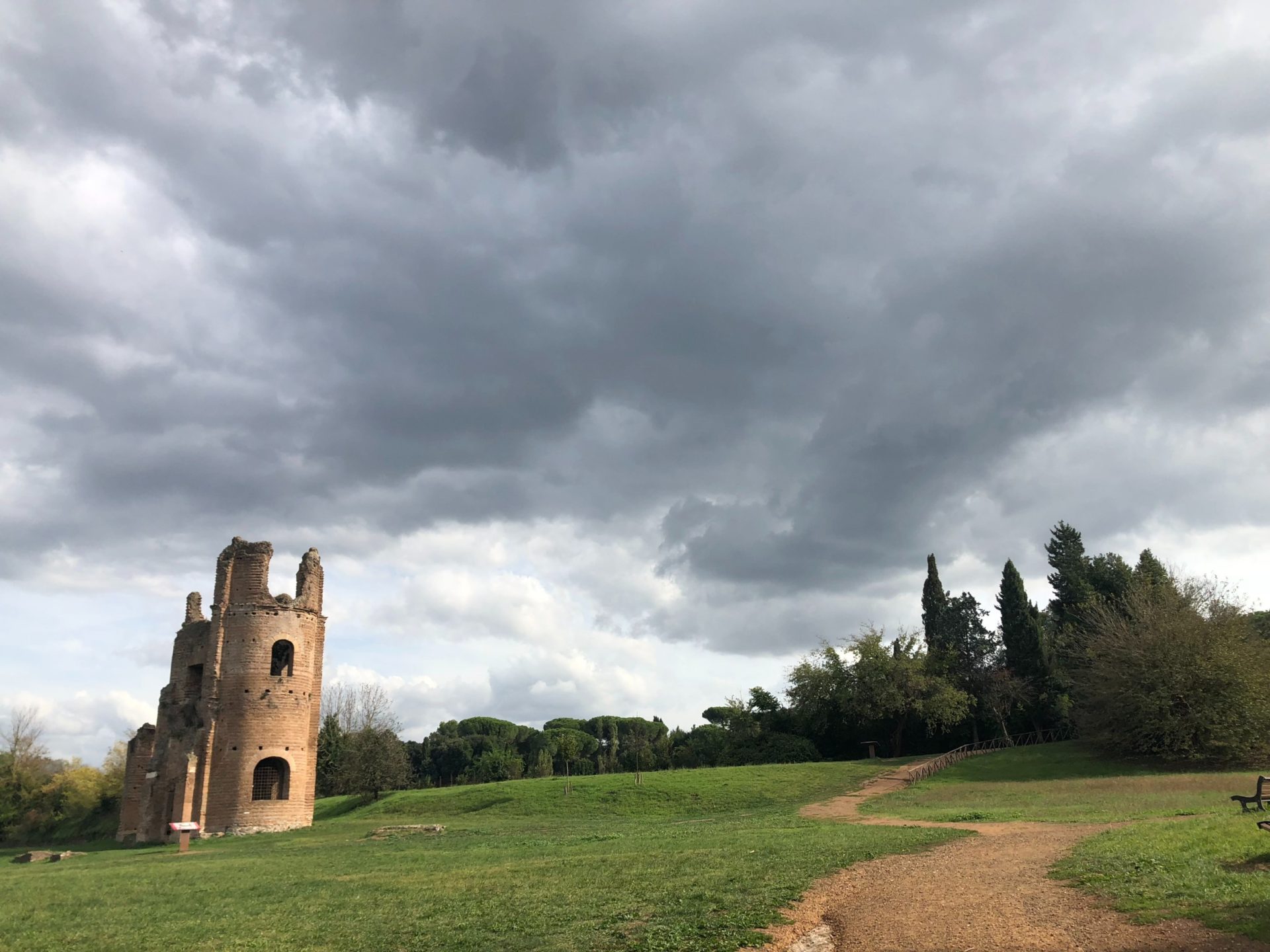
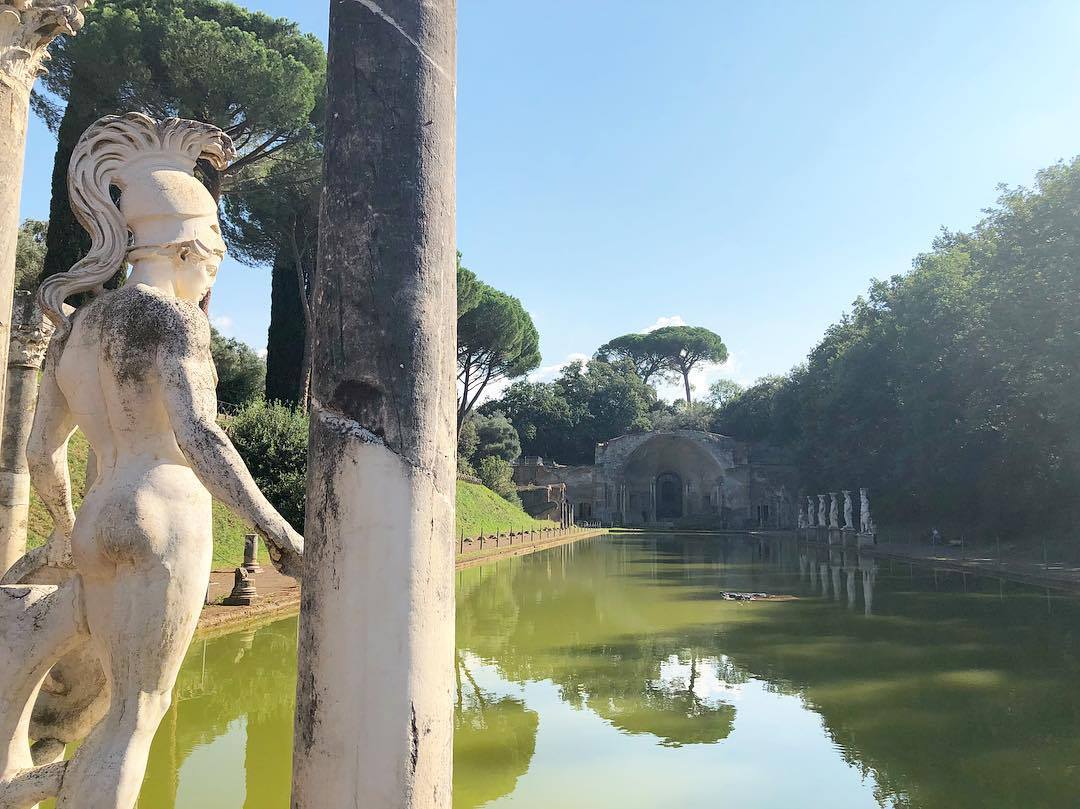
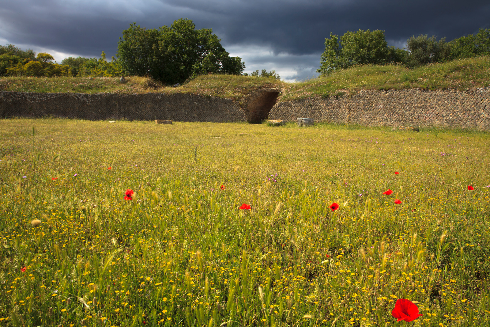
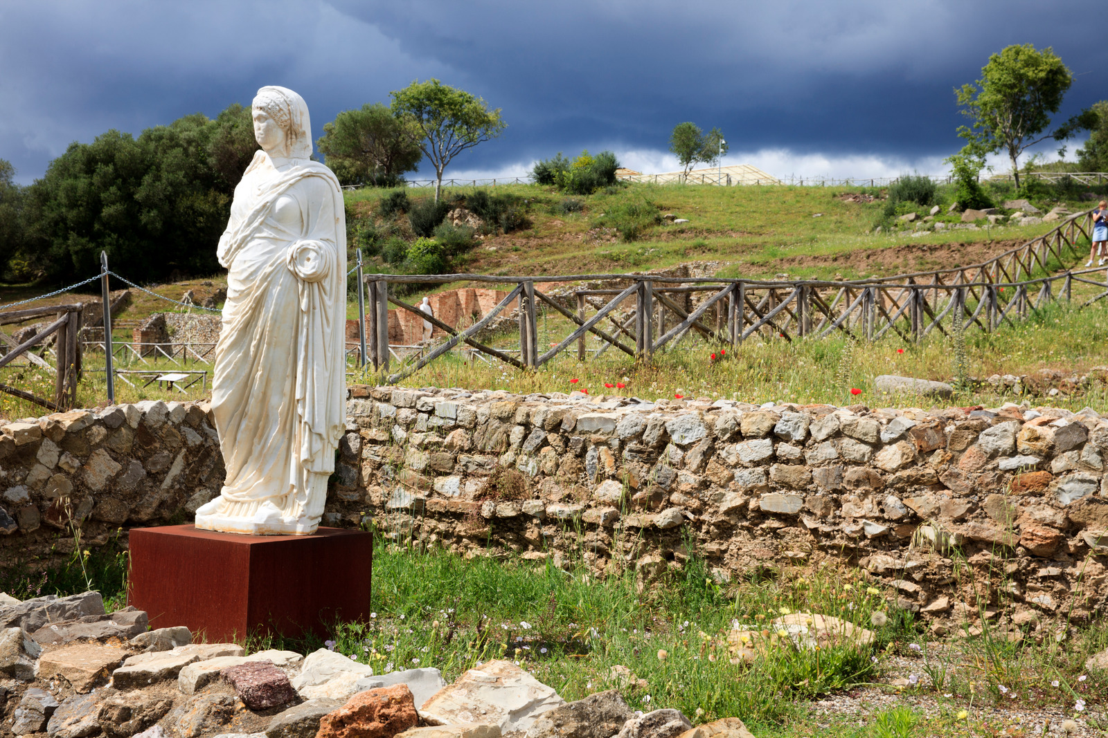
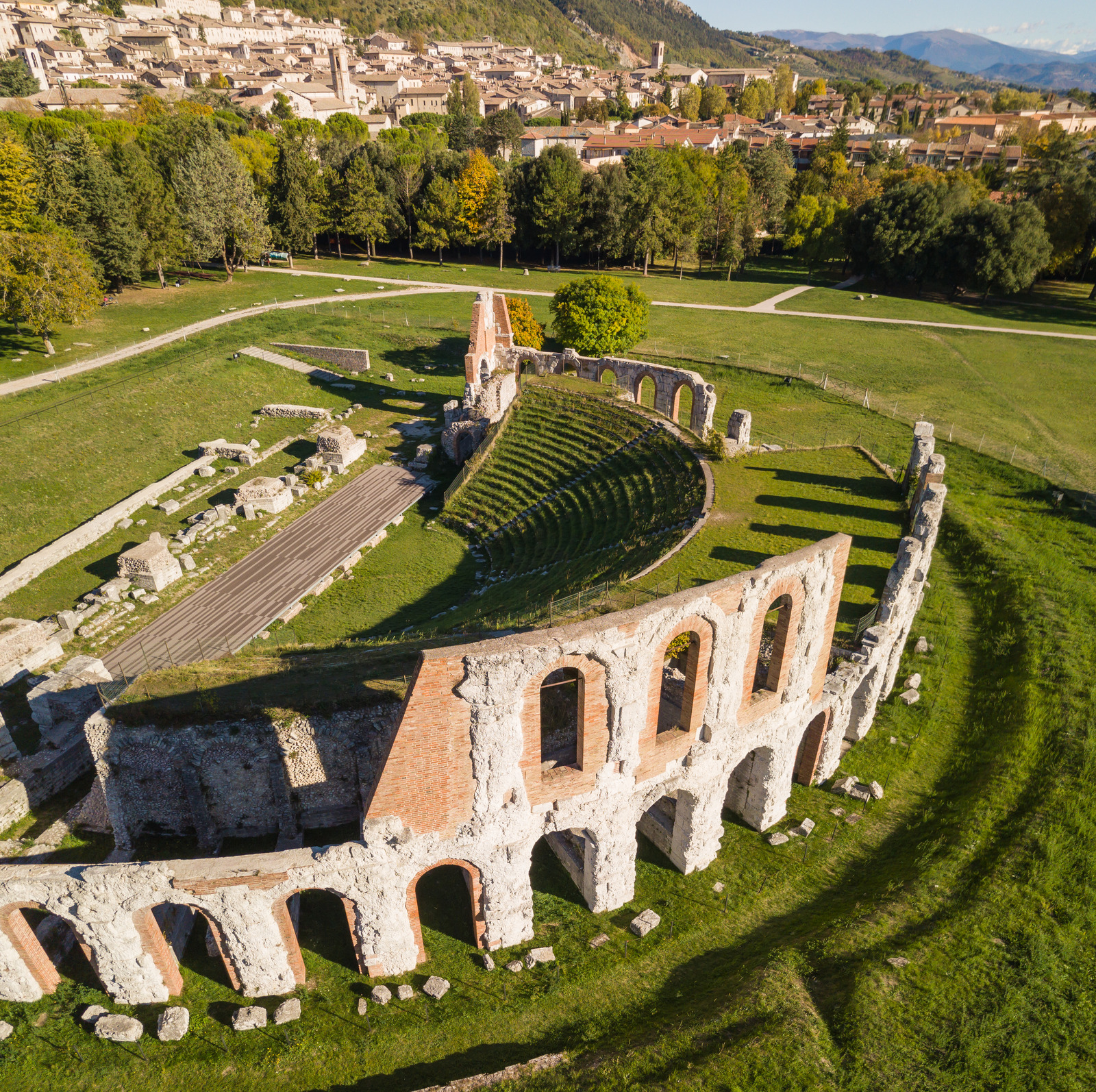
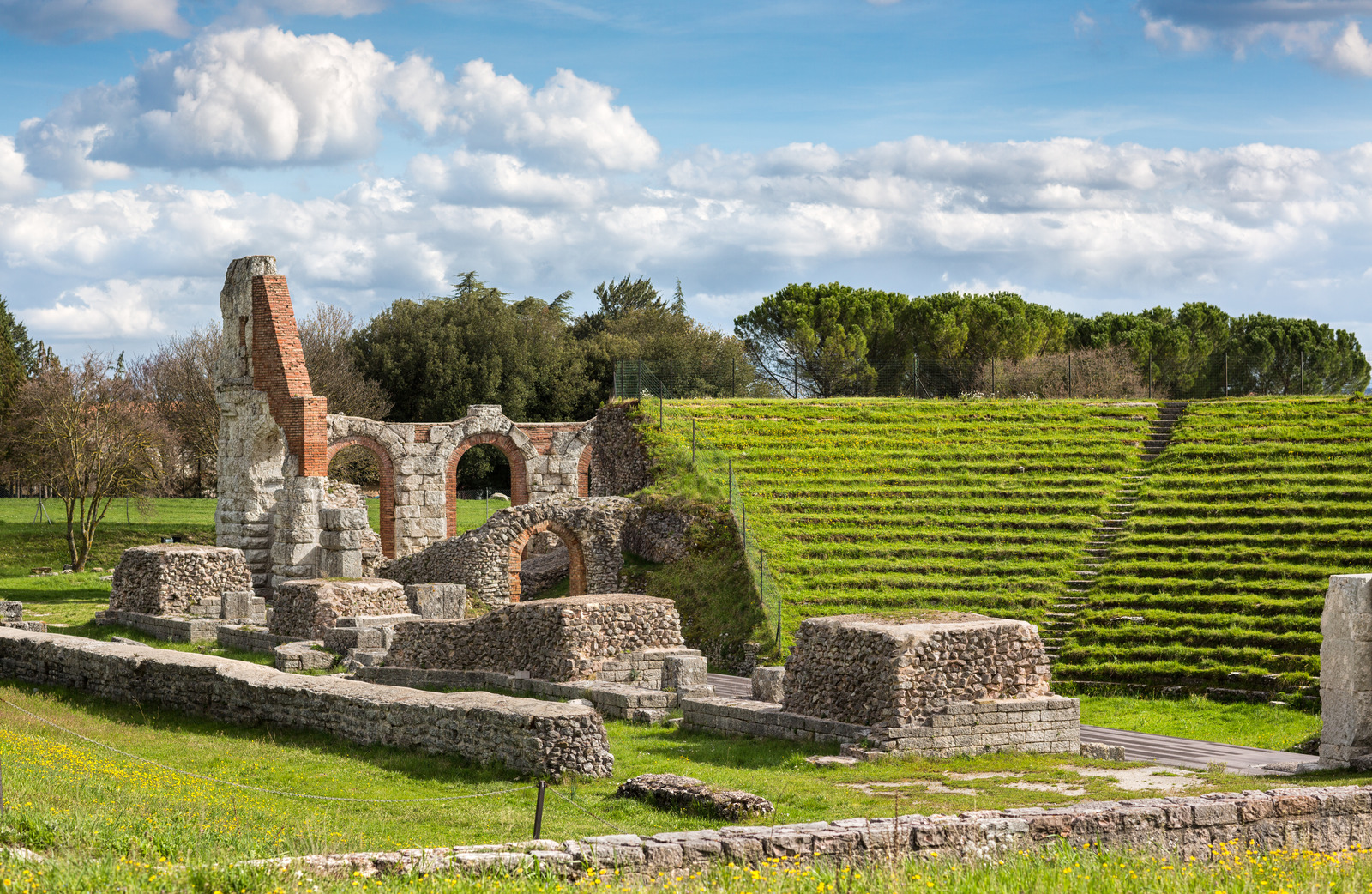
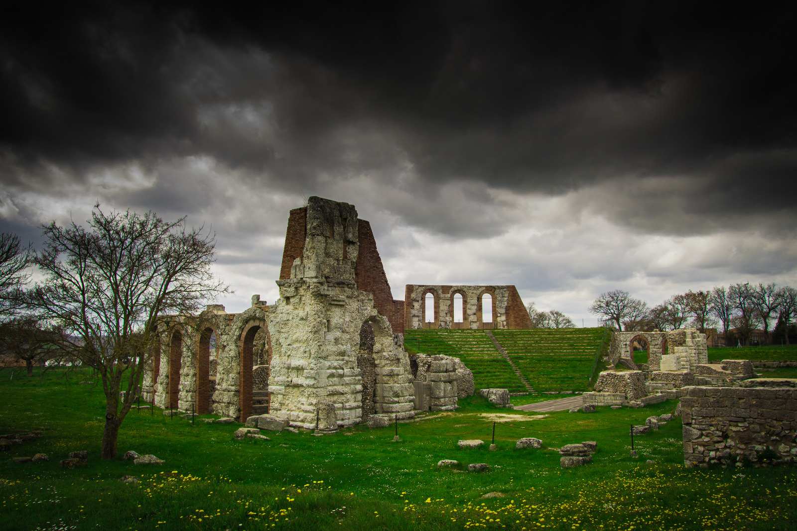
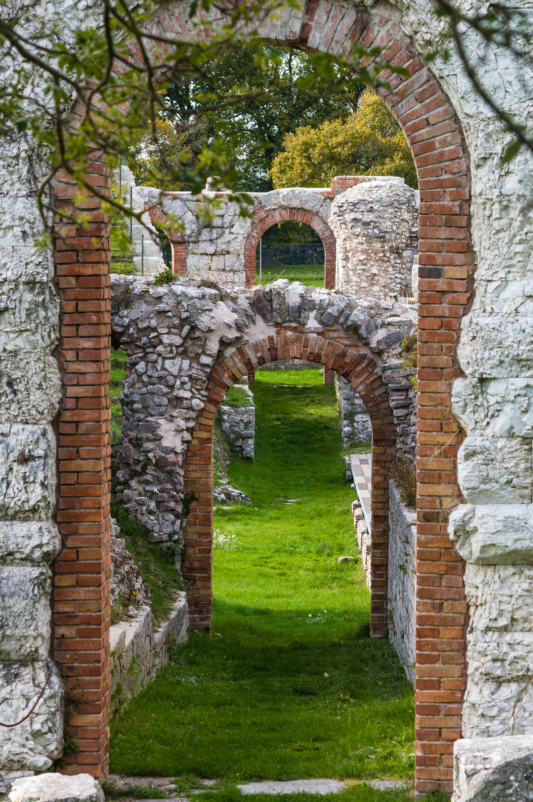
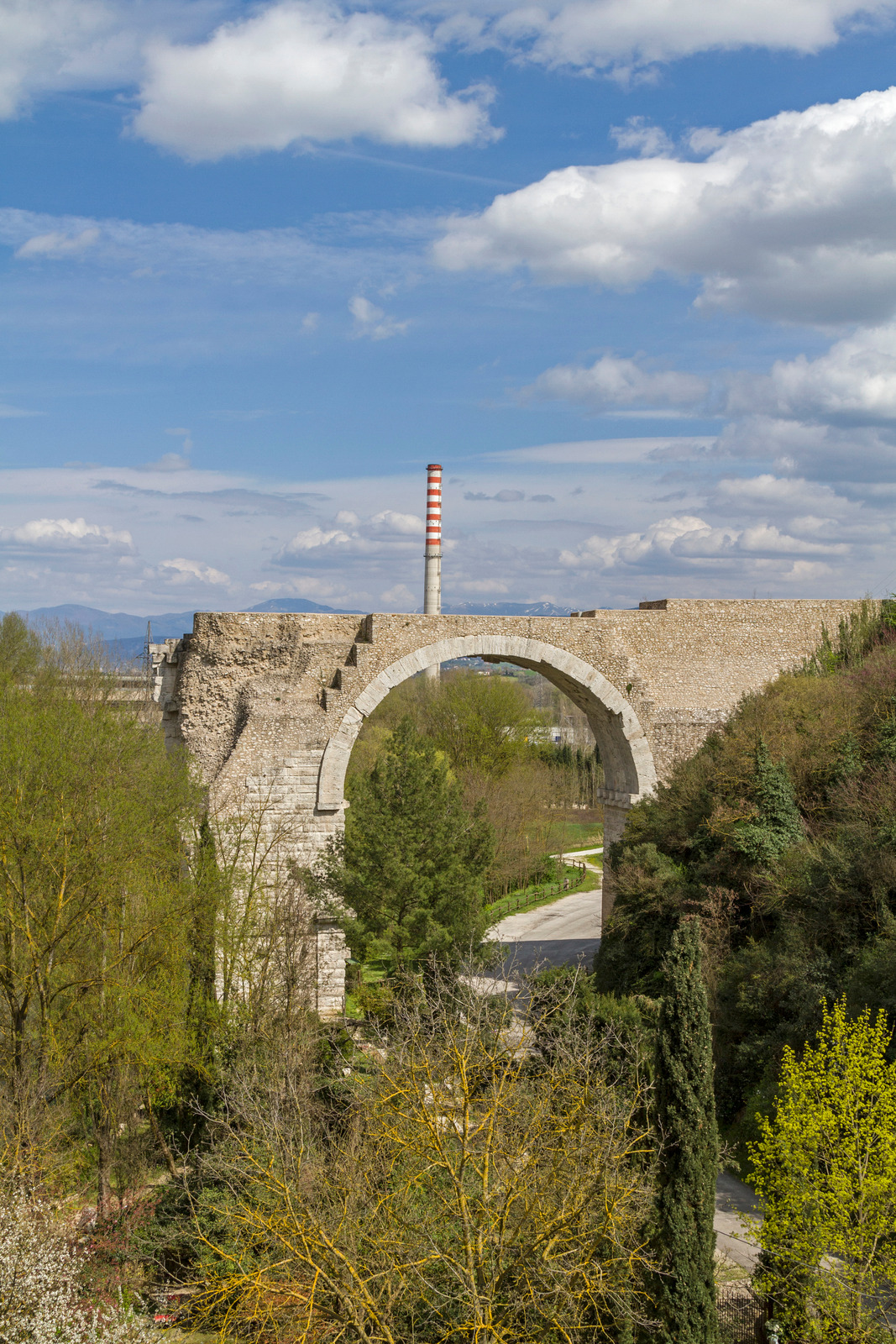
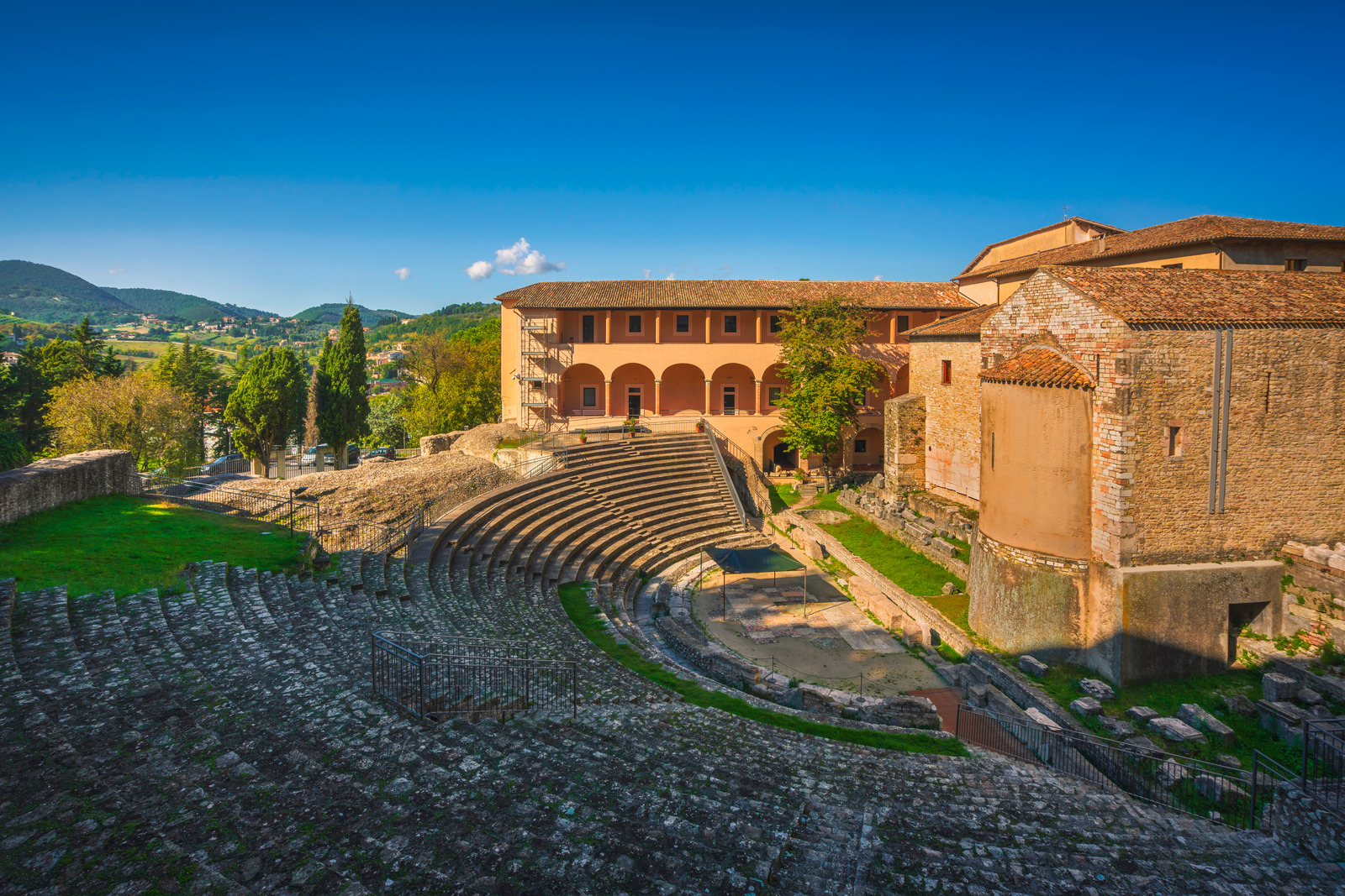
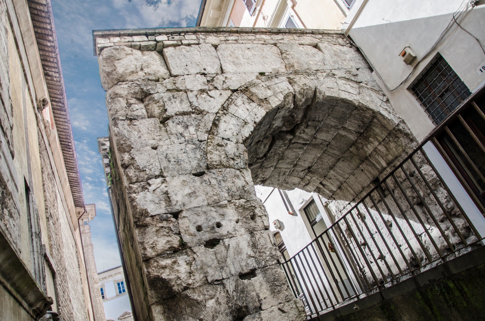
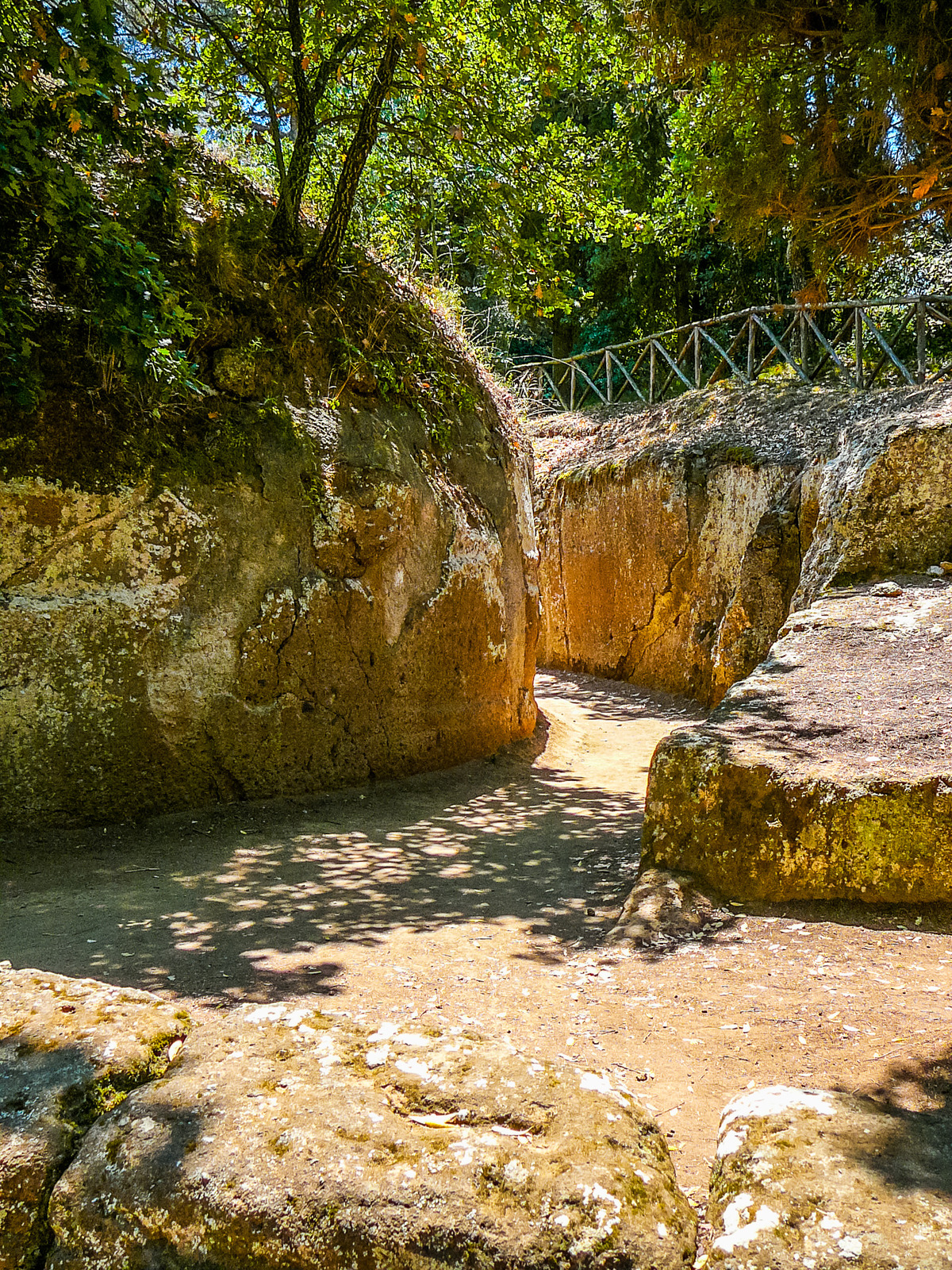
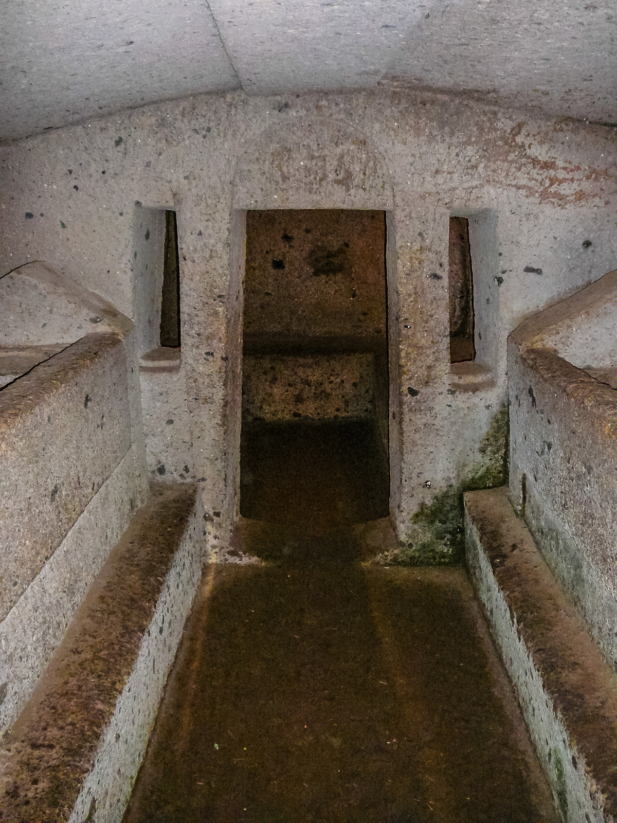
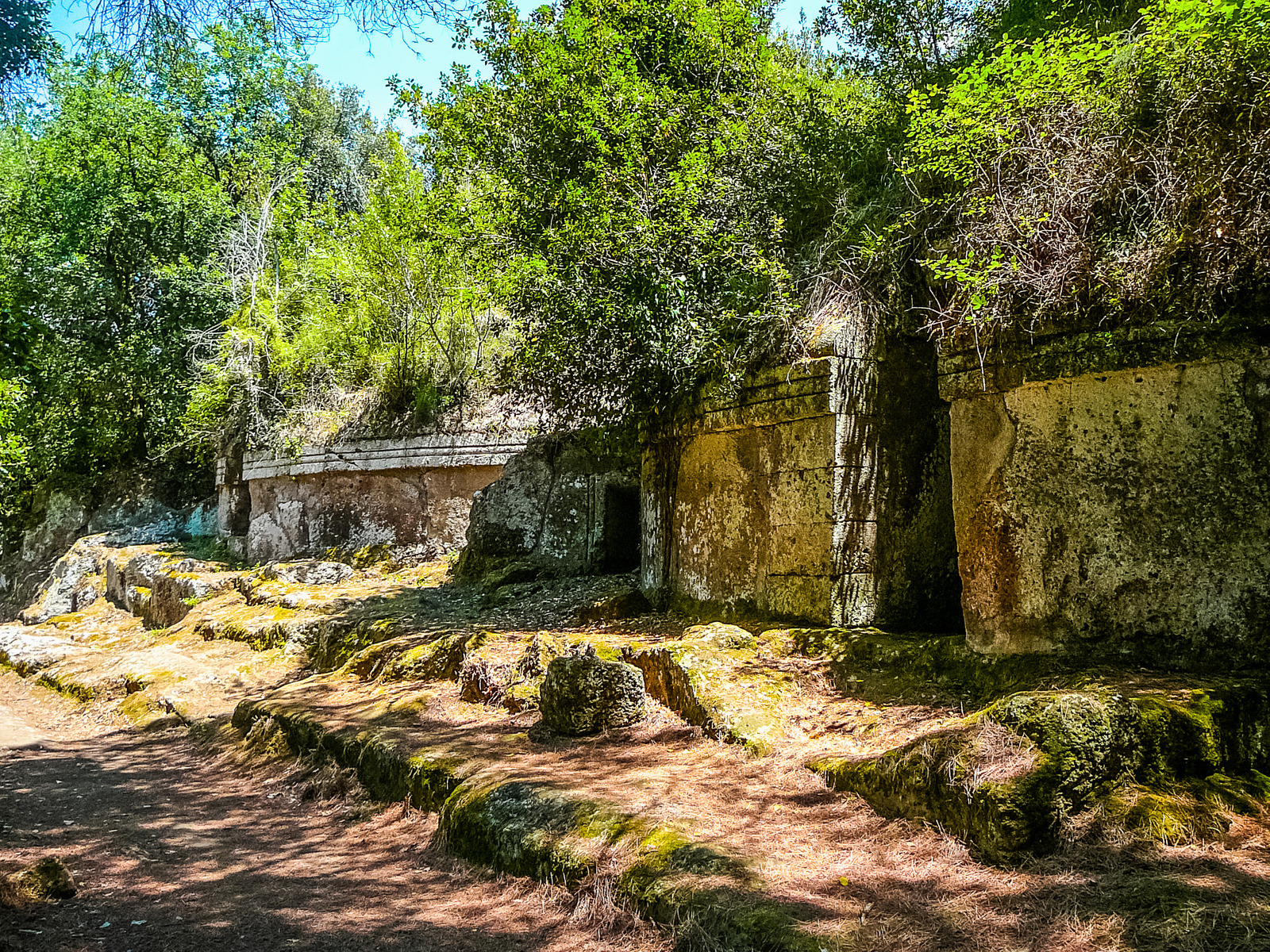
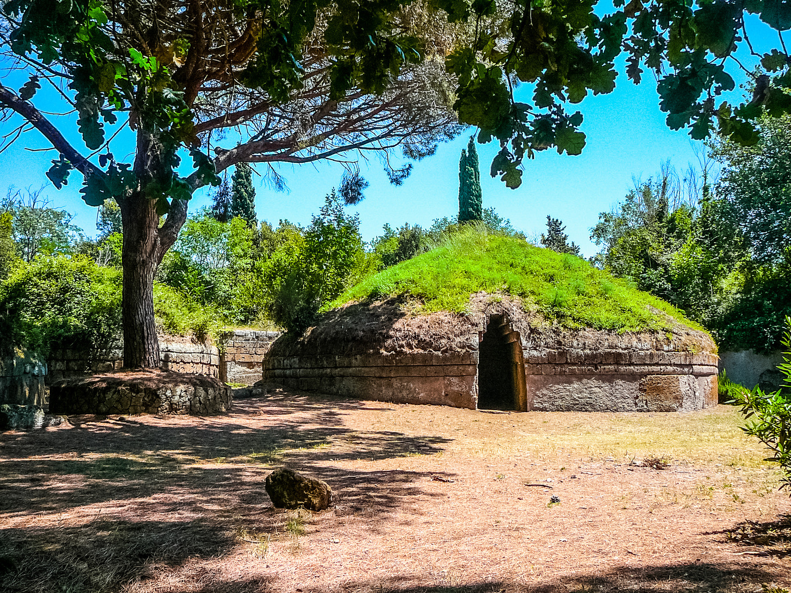
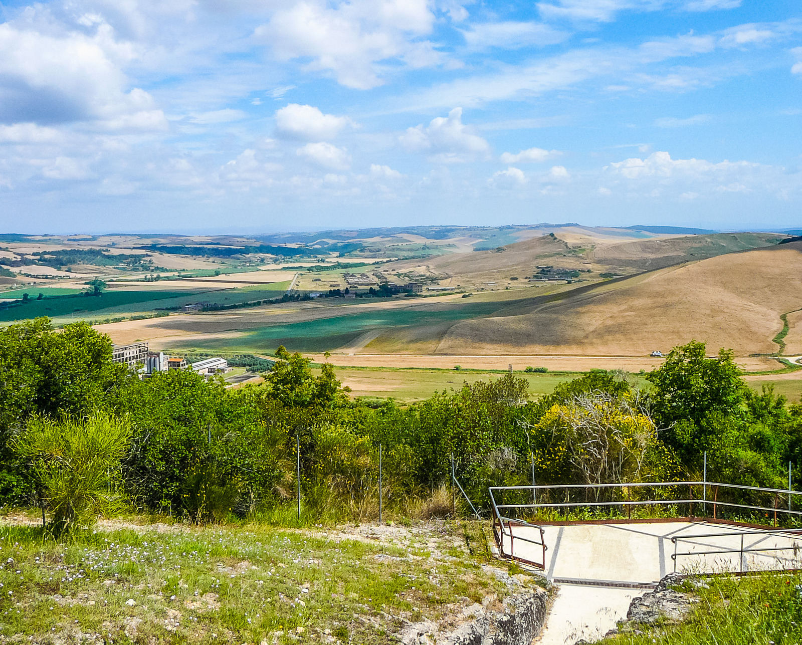
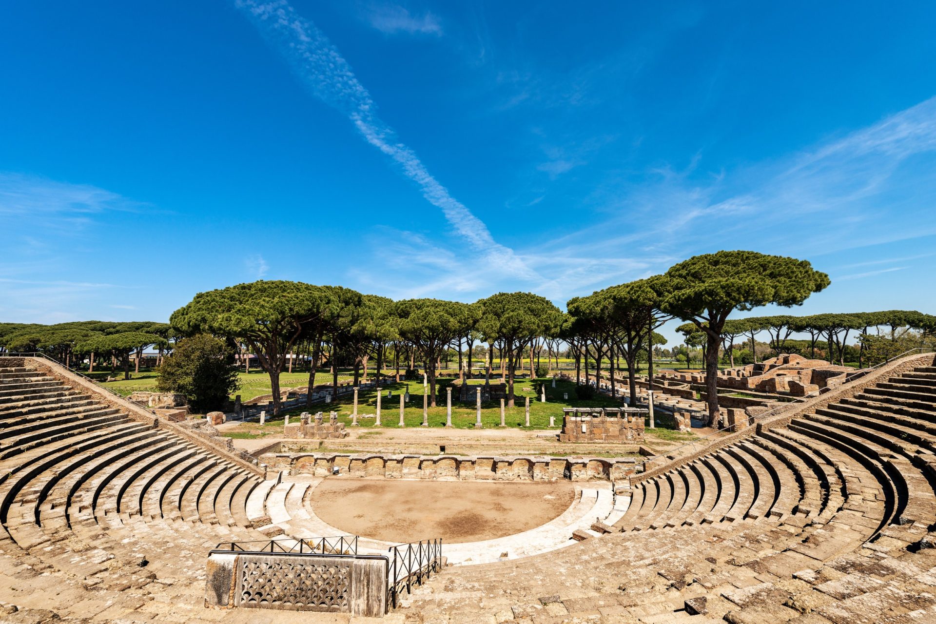
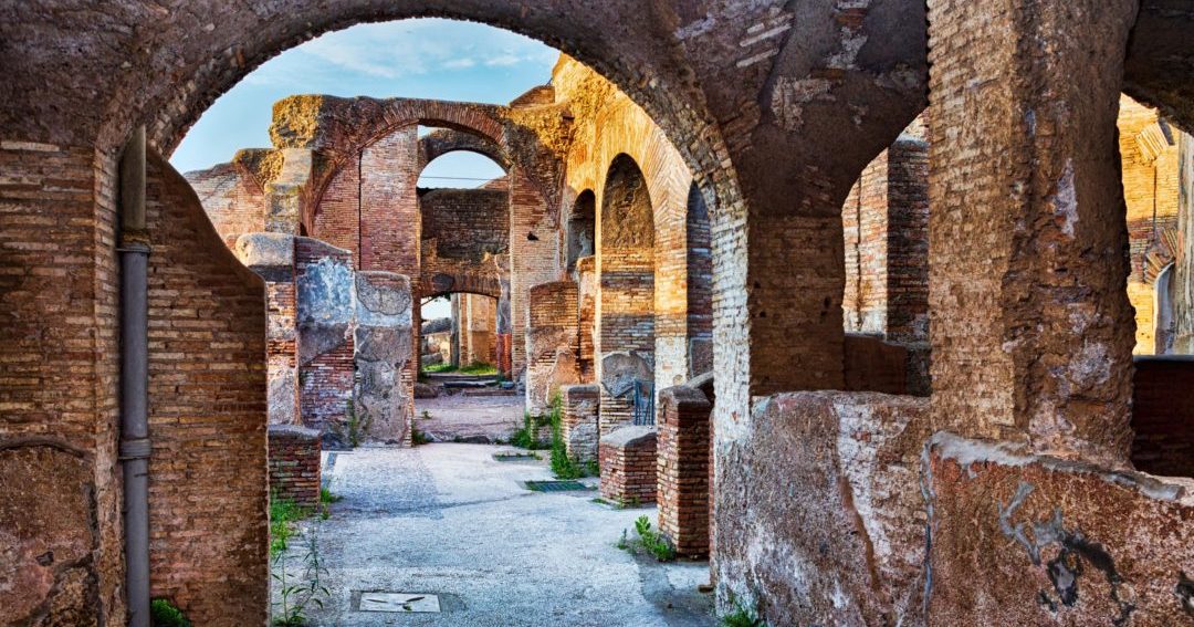
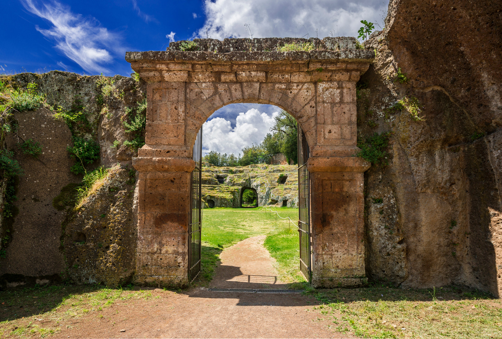
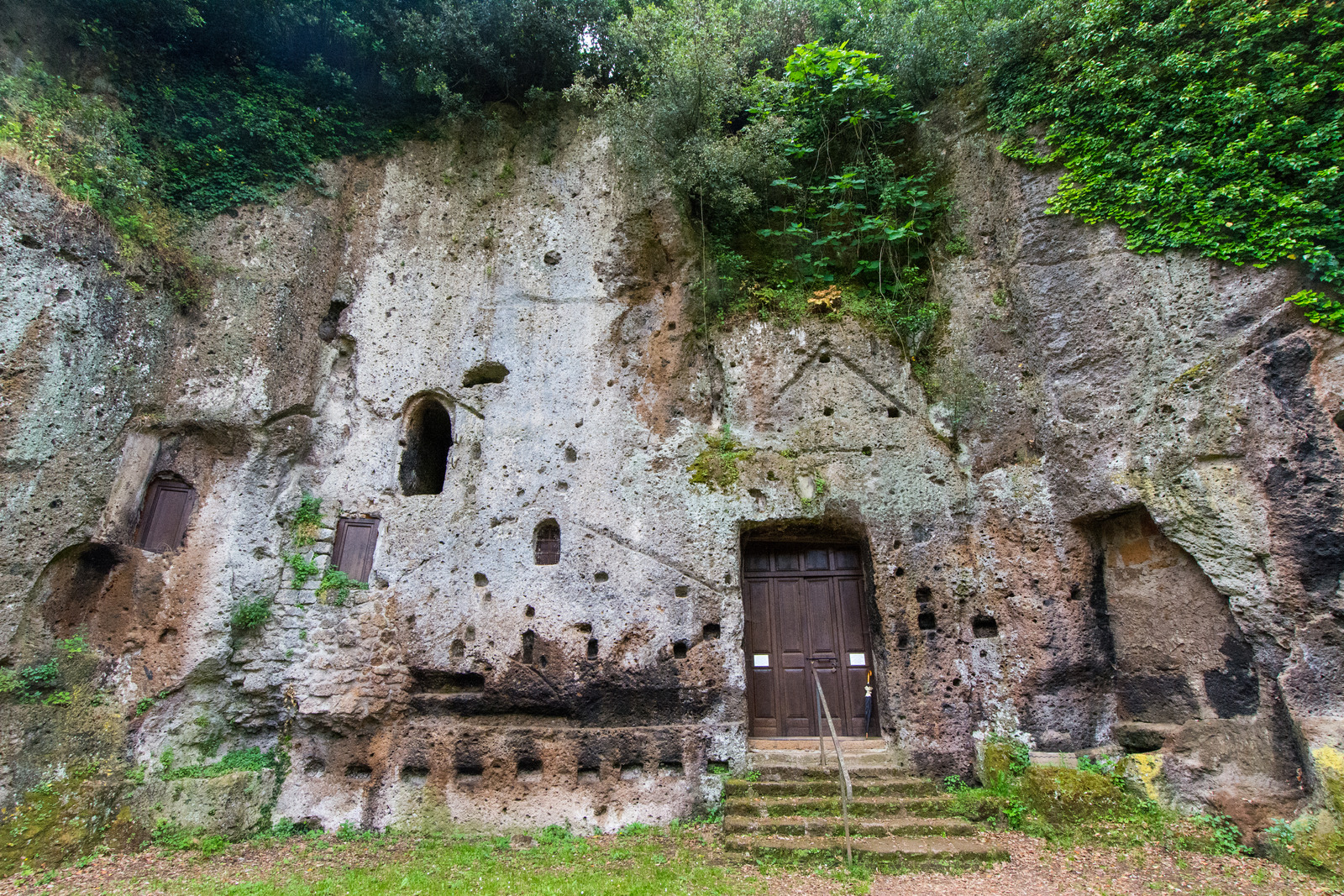
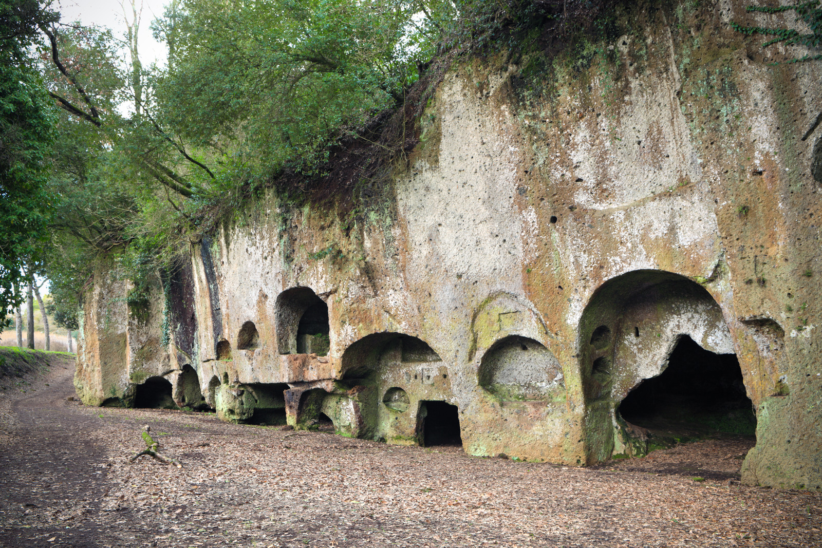
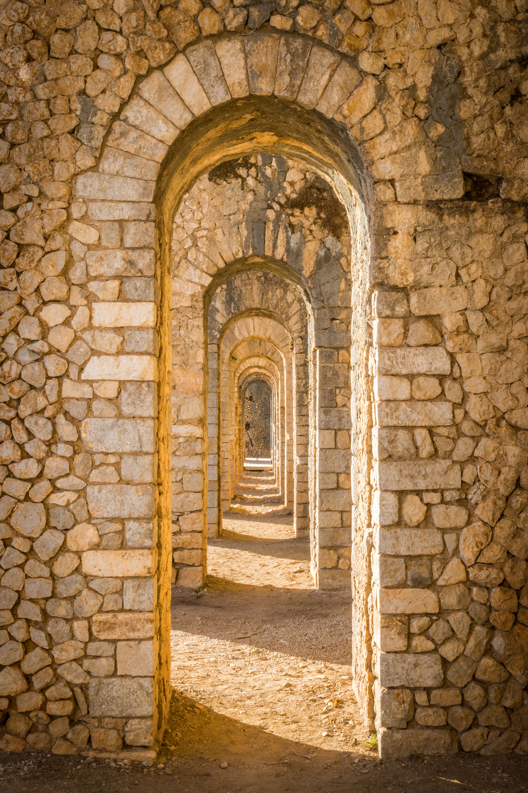
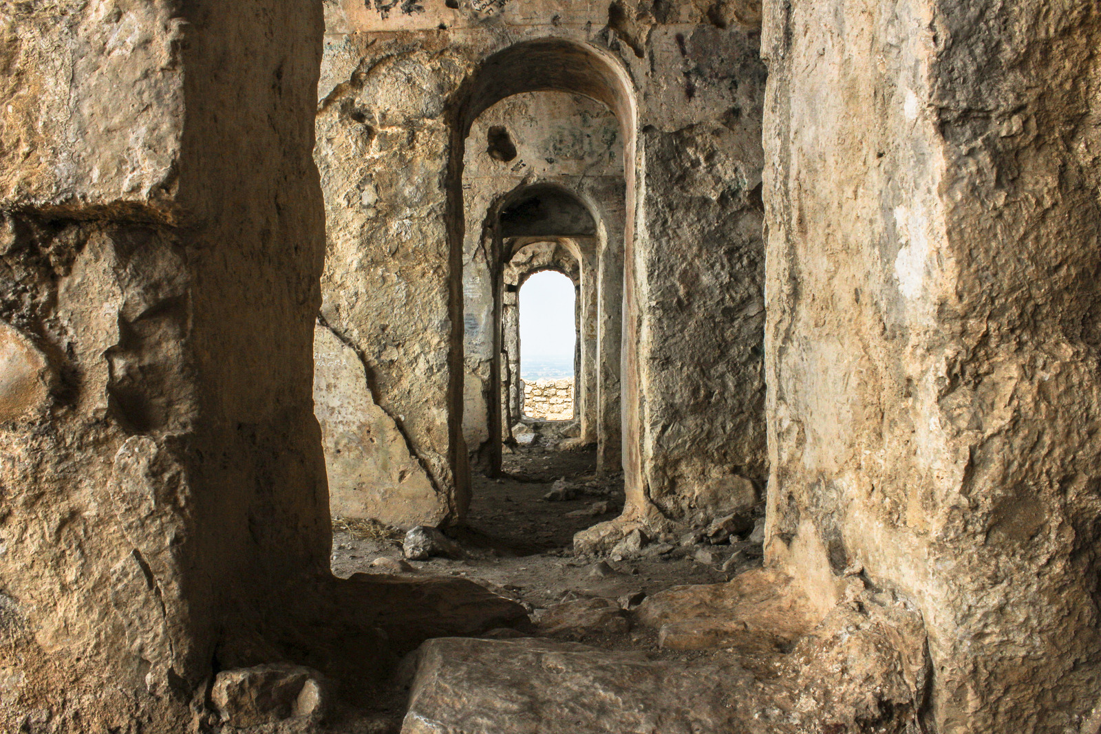
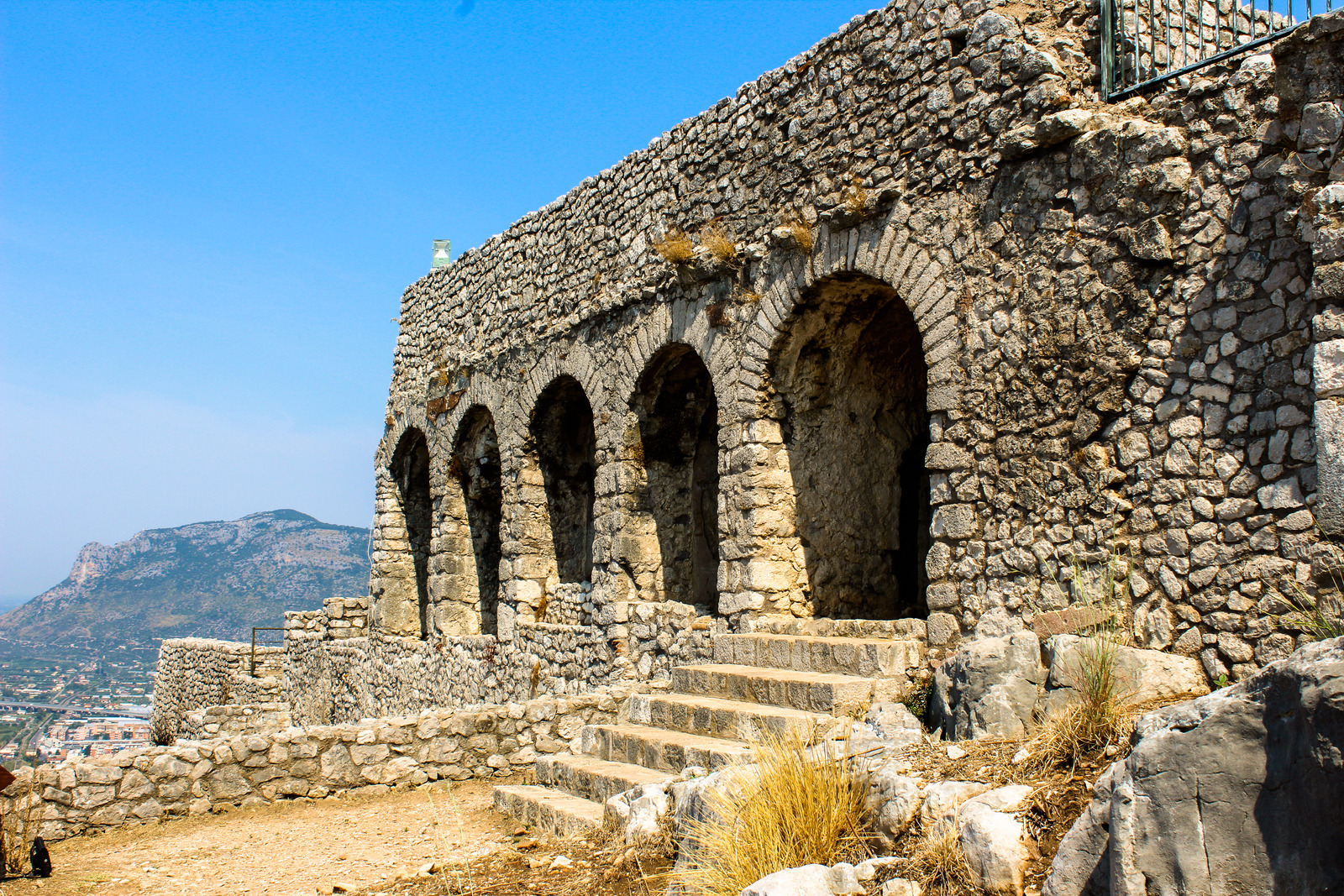
The Via Appia Antica Park in Rome itself has a great many monuments and historic sites, ranging from the Circus of Maxentius, to the tomb of Saint Sebastian. I’ll probably do a separate post on that someday. Outside of the park, ruins pop up here and there, as does the odd sheep herder with his flock.

Logistics

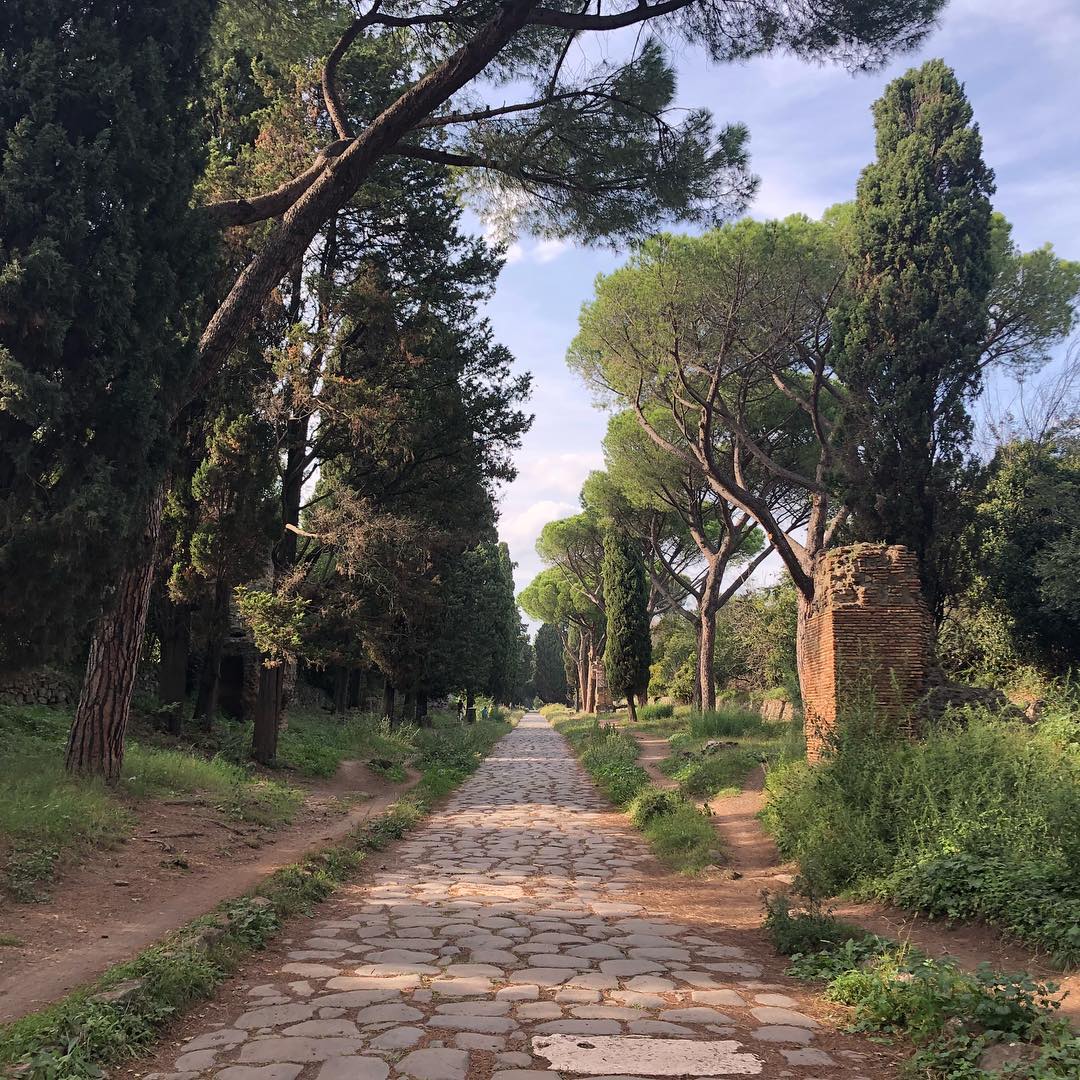
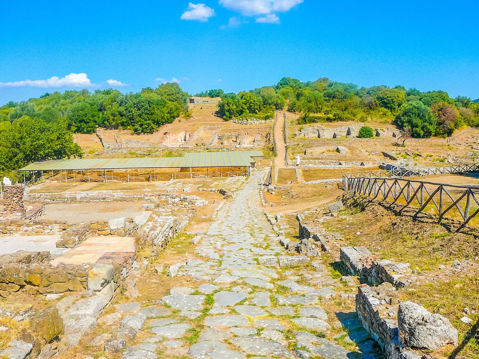
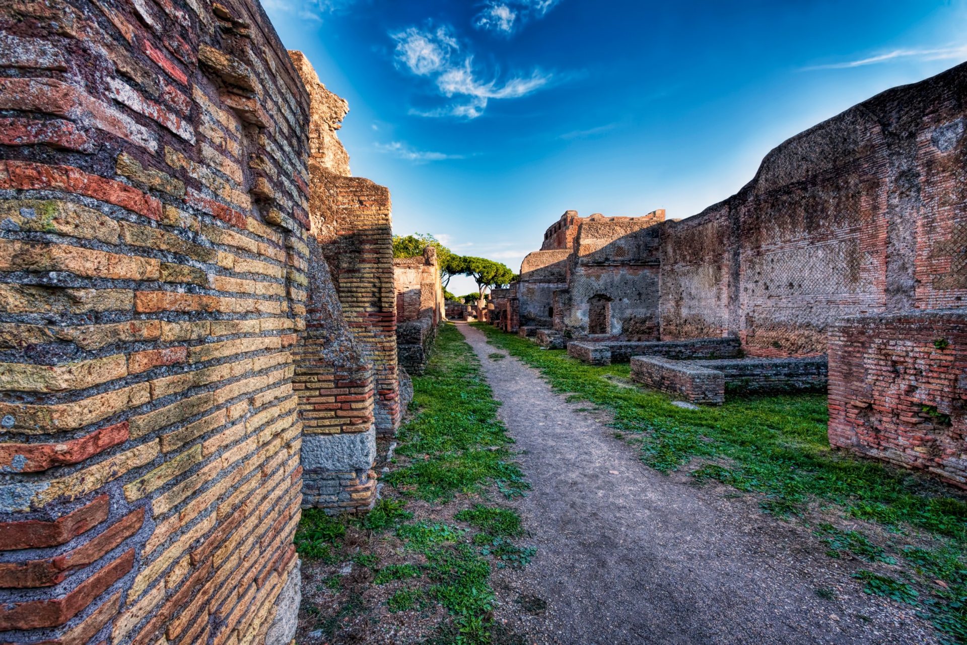
While there are many structures and the road goes hundreds of miles, the most beautiful stretch near to Rome can be found outside the city. There is the Via Appia Antica park, but if you want to walk the road with the original stones, you can go to this location using an Uber or Lyft. Via di Tor Carbone, Via di Torricola. The original stonework can be seen very evocatively (see above picture) from Via Cinquetorri to Via di Tor Carbone. Continue walking south from that point.


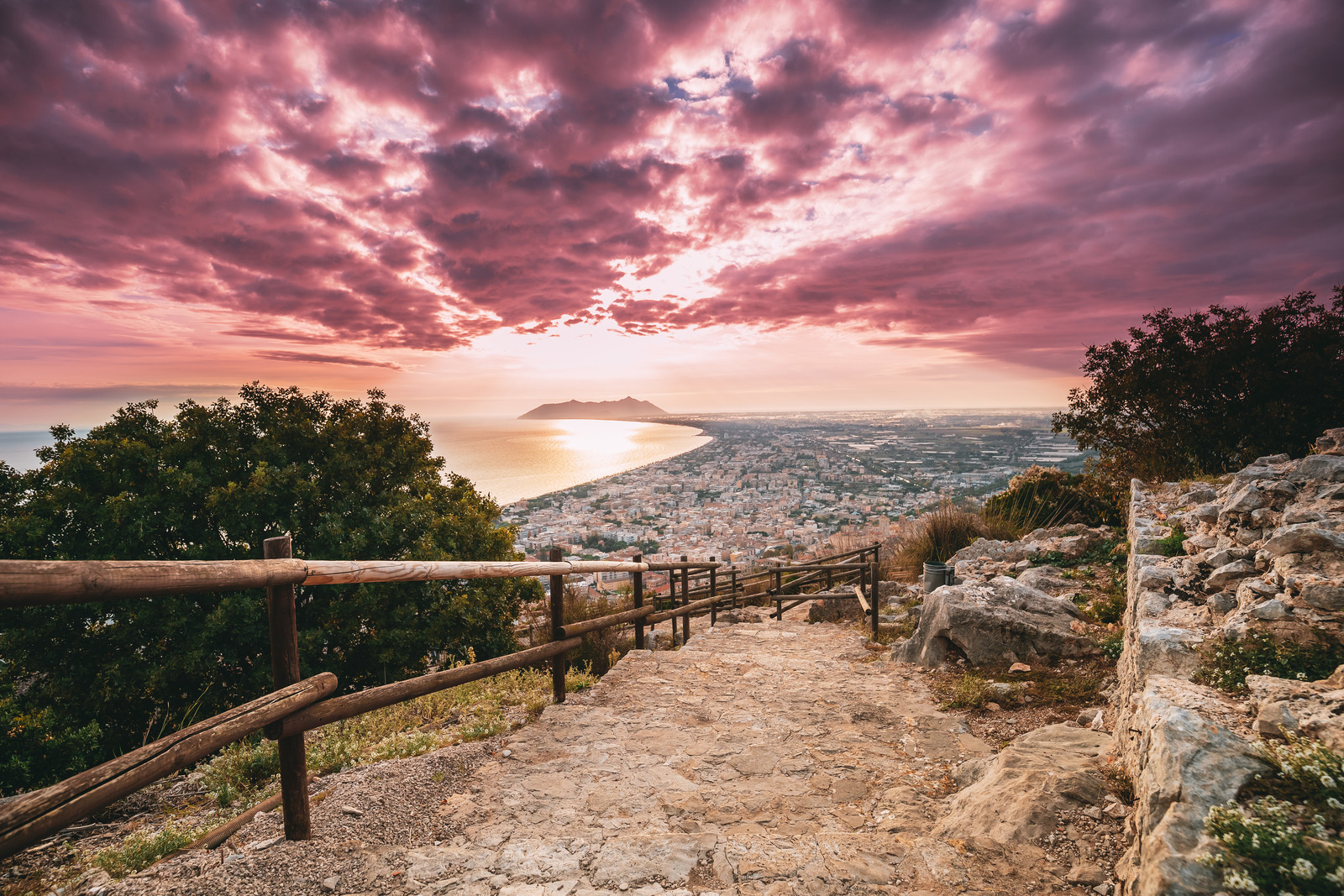
The road continues to the south all the way to Brindisi, mostly as a major road or highway traversed by modern vehicles. However, the end point of the road can still be seen at Brindisi.


Villa Adriana

Location

The town of Tivoli, about 40 km east of Rome, in the Apennine foothills.

History

The “villa” of the emperor Hadrian, though it is closer to a small town in it’s size. Built over two decades in the early 2nd century CE, it was originally meant to be Hadrian’s retreat but, towards the end of his reign, he governed the empire directly from it. It’s felt that he may have moved up to the villa because it reminded him of the Spanish countryside where his family was from.

Structures

The area of the villa is made up of at least 30 large scale buildings covering 250 acres, an area larger than the town of Pompeii.


One of it’s most interesting features is that Hadrian, the emperor who traversed the entire empire twice, placed objects and statues symbolizing the empire’s many provinces.


One such area is the Canopus, named for the Egyptian city where Hadrian’s lover Antinous drowned. It features a long, reflecting pool, representing the Nile, which was lined with copies of famous works of sculpture including the caryatids of the Erechtheion, a statue depicting the Egyptian dwarf and fertility god, Bes and a crocodile.


Hadrian sought refuge in the island at the center of the complex as his “domus”, known as the Maritime Theater, including a lounge, library, heated baths, three suites with heated floors, a washbasin, an art gallery, and a large fountain.


Other structures include:


-The Pecile

-The Great and Small Baths

-The Greek Theatre

-The Greek Library and Latin Library

-The Vestibule

Logistics

There are tours offered for around $80 that includes a half day at Hadrian’s Villa and at the Ville d’este nearby.


I took the more complicated (and cheaper) route of taking the bus there and back. It is very doable! 

Take Rome’s metro B line (blue) to Ponte Mammolo. From here you can catch the Co. tral (CAT) Roma-Tivoli-Via Prenestina directly to the Hadrian’s Villa stop (Villa Adriana) which is located 300 meters from the entrance to the villa. Just make sure you buy a ticket for both the trip there and back. The buses come every 20-40 minutes. 


Once you get off the bus, walk to the east as the entrance to the villa is only a 5 minute walk away.


To get back to Rome, walk to the main street in Tivoli, about 15-20 minutes away, for an easy straight shot back. Taking the bus from the villa is too roundabout and complicated, as well as being unpredictable. Just walk straight to Via Tiburtina and get on the side of the road where a bus will take you back to Rome. Make sure  to take a blue Cotral bus back.


How much is it?

Standard Ticket: €8.00; Reduced Ticket: €4.00; with events €11.00

-9 am to -5 pm from 2 January to 31 January, last admission at 3.30 pm

-9 am to 6 pm from 1 February to 29 February, last admission at 4.30 pm

-9 am to 6.30 pm from 1 March to the last Saturday of March, last admission 5pm

-9 am to 7 pm from the last Sunday of March to 30 April, last admission 5.30 pm

-9 am to 7.30 pm from 1 May to 31 August, last admission 6 pm

-9 am to 7 pm from 1 September to 30 September, last admission 5.30 pm

-9 am to 6.30 pm from 1 October to last Saturday of October, last admission 5 pm

-9 am to 5 pm from the last Sunday of October to 31 December, last admission 3.30 pm


The Villa is also open on Mondays.


Vulci

Location

An hour and a half north of Rome.

History

Home of one of the legendary twelve cities of the Etruscan civilization. Like many other Etrucscan sites, it was probably founded in the 9th century BCE. Its golden age was in the 6th century BCE, when it ruled over several other cities. Vulci was eventually incorporated into the Roman Republic in 280 BCE. The Via Aurelia was built through it, but the city’s importance declined due to the presence of the new Roman colonia of Cosa on the coast.

Structures
  • Necropoli
  • City Walls
  • Villa of the Cryptoporticus
  • Arch of Publius Sulpicius Mundus
  • Temple
  • Basilica
  • Ponte dell’Abbadia (Bridge)
Logistics

The archaeological park of Vulci’s opening times and directions can be found here.


More information can be found here and here.

Marche

Helvia Recina

Location

In the small town of Ricina, about 5km NW of Macerata, on the banks of the Potenza river.

History

Probably founded in the 2nd century BCE. It became a Roman municipium in the 1st century BCE when the veterans of the Roman civil wars were settled there. More information can be found here.

Structures

The theater is the main ruin to be found, though remains of an ampitheater may be seen. I’m mostly including this one to show you guys how dedicated I am. 😉

Logistics

The site is closed off, but can be found using the Google map link above.

Urbs Salvia

Location
History

Founded as a colonia in the 2nd century BCE, it was a strategic location on the Via Regio Picenum. 

Structures
  • Water cisterns and tank
  • Theater
  • Two temples
  • Walls
  • Ampitheater
Logistics

Hours

From 16 June to 15 Sept: 7 days a week, from 10.30am to 1pm and 3pm to 7pm

From 16 Sept to 31 Oct: on weekends and holidays, from 10am to 1pm and 3pm to 6pm

From 1 Nov to 28 Feb: on weekends and holidays, from 10am to 1pm and 2.30pm to 4.30pm

From 1 March to 14 June: on weekends and holidays, from 10am to 1pm and 3pm to 6pm


Tickets

Ticket price: Full € 7 – Reduced € 5

Rocca Medioevale is included.

Free entry: children under 10, people with functional diversity and those who accompany.

How to get there

You will need to use Ancona as your base and either drive OR take a train and/or bus to arrive. Rome2Rio has a nice list of options of how to get there.

Tuscany

Ansedonia (Cosa)

Location
History

Founded in 273 BCE by the Romans on confiscated Etruscan land, designed to control the port area from a high rocky promontory.

Structures

The Wikipedia article on this site is EXTENSIVE, so I’ll leave it to them:


Wikipedia


Tuscany Villas


Also, this site hosts a nice overview and reconstruction of the site from ancient times, including the video below:


Logistics

Maremma Tuscany also has an overview of the site along with the address, opening hours, and price.

Fiesole

Location

Located about 5 minutes away in the hills above Florence.

History

Originally an Etruscan town, Faesulae was conquered by the Romans in 283 BCE. Originally famous as a town for augurs, it fell to the Eastern Roman empire under Bellisarius’ invasion of Italy in the 6th century CE.

Structures
  • Etruscan Walls
  • Roman baths
  • Roman theater (with terrific view of the hills to the east!)
Logistics

If you don’t have a car, you will need to take a bus from Florence to Fiesole. No worries as it is regularly served by a bus line. Go to the bus stop at Via Giorio La Pira, in Florence, near Piazza San Marco. Validate your ticket when you get on board. Make sure you have two tickets. One to get there and one to get back! There is a place to buy a ticket in Fiesole but it requires cash.


The last stop on the route is in the piazza (Piazza Mino) at Fiesole. The trip should take around 20-30 minutes in total. The ruins are found just to the north of the piazza.


To see the ruins and the museum (with some wonderful material culture from the Etruscan and Roman periods, along with a section on the Lombards), you will need to pay 10 Euro.


Roselle

Location

About twenty minutes north of Grosseto.

History

An Etruscan city state, ancient Russellae was founded around the 7th century BCE. The Romans captured it around 294 BCE and a colonia was later founded there in the 1st century BCE.

Structures

Occupying two hills, the imposing remains include


  • Roman amphitheater (on the north hill)

  • The cyclopean wall of the original Etruscan city

  • Forum

  • Basilica

  • Necropoli

  • Domus mosaics

This page has a terrific overview of the site, complete with tons of pictures.

Here is another great page, with a video overview of the site I have embedded below:


Logistics

The second page above has logistics at the bottom.

Volterra

Location
History

An ancient Etruscan town, and another medieval wonder in Tuscany. Volterra was one of the 12 chief cities of the Etruscan confederation.  Found around 1000 BCE, and founded several other Etruscan towns, including Fiesole, outside of Florence.


Brought under Roman control as the city continued its takeover of the Italian peninsula, which we know very little about. What we do know is that by the time of the Second Punic War, Volterra was contributing troops to the Second Punic War.


It eventually became wealthy enough for the construction of a major theater in the 1st century CE.

Structures

The Roman theater is the main site, though there is an Etruscan acropolis further in the city as well.

Logistics

As with so much of Tuscany, you could take a bus, but why not just rent a car? It’s the best way to see that brilliant, Renaissance countryside. Keep in mind, the dreaded ZTL zones in the historic centers of Italian towns will lead to heavy fines if you enter them and their signage is very difficult to see.


Otherwise, you can take a bus from Florence or Pisa, which house the main airports in the region. There is a train service between Florence and Volterra-Saline-Pomarance. More than likely you will have to switch trains in Cecina.

Umbria

Assisi

Location

One of the major hill towns of Umbria, located about 30 minutes from Perugia.

History

One of the chief cities of modern Umbria and one of the most visited pilgrimage sites in the world, its Roman remains attest to its ancient history, long before St. Francis lived here. 


Like much of central Italy, Assisi’s main claim to fame is its medieval history, specifically the residence of Francis, the patron saint of Italy, who founded the Franciscan order of monks. But the city’s history stretches further back, even back to the ancient Umbrians, who were thought to have built a settlement here in 1,000 BCE.


The Romans found the colonia of Asisium, sometime in the later 3rd century BCE. The poet Sextus Propertius was born here in 55 BCE. In the 3rd century CE, St. Rufino brought Christianity to the city. Like many Italian cities, the medieval core grew up around the Roman ruins. 

Structures

The temple of Minerva serves as the front of the church of Santa Maria sopra Minerva, built in 1539. 

Logistics

How Do I Get Here?

Assisi is around two hours by train from Rome – there are a few direct trains, otherwise you change at Foligno. Perugia is a short direct journey away, by bus or train. The nearest airport (with Ryanair flights from London Stansted) is Perugia Airport, just a few miles away.


Santa Maria sopra Minerva is found on Piazza del Commune, in the very center of the city. 


Links

http://www.italia.it/en/travel-ideas/art-and-history/assisi-city-of-saint-francis.html


Carsulae

Location

In the far south of Umbria, about 4km north of San Gemini.

History

An ancient municipium in Umbria, the town was situated along the Via Flaminia. KeytoUmbria.com has an excellent overview of the town’s history.

Structures
    1. Via Flaminia. The western branch of the ancient Roman road passed through Carsulae. The via Flaminia was the “main street” of the city, and the stretch that runs through the city features sidewalks and gutters.
    2. Chiesa di San Damiano, first built in paleo-Christian times on the remains of a Roman building whose original purpose is unknown. Remnants of this building are still in evidence on the south side of the church. The primitive church was a rectangular space with an apse. A portico and two interior colonnades were added during the 11th century using materials gathered from the site, including items that probably decorated the Basilica or were architectural pieces from the Forum.
    3. Basilica, the public meeting hall for the citizens of Carsulae. The interior hall, which is rectangular, has a central nave and two side aisles separated by rows of columns. The apse at the far end would have held a magistrate’s chair, used to arbitrate or adjudicate disputes and dispense justice.
    4. Public Baths, mineralized, thermal baths.
    5. Cistern, now an Antiquarium, held water for use by the people of the town.
    6. Temples. Two temples, sometimes called the “twin temples” were devoted to the gods of two unknown Roman divinities. Only their diases, sheathed in pink rock, remain today.
    7. The Forum, the main public “square” of the ancient city, built on a terraced structure in and around the Basilica and twin temples. The line of vaulted structures, or “tabernae”, near the Forum might have been market stalls or shops.
    8. Public buildings. Used for unknown purposes, they probably housed administrative offices for the local government, or served as palaces for aristocratic families. There are four sumptuously decorated rectangular rooms with apses, with marble walls and floors incorporating both marble and opus sectilis.
    9. Amphitheatre. Sitting in a natural depression to the east of the via Flaminia, was probably built during the Flavian dynasty. It is built primarily of layers of limestone blocks and bricks.
    10. Theatre. It was probably built in the time of Augustus, before the building of the amphitheatre. The primary building material for the theatre was opus reticulatum.
    11. Collegium Iuvenum, a college or school for young people.
    12. Cistern – Another structure built to contain water for the use of citizens.
    13. Arco di Traiano – Arch of San Damiano – Originally consisting of three marble- clad arches, of which only the center arch remains. It was also built during the time of Augustus as a symbolic north entrance to the city.
    14. Funerary monument, known as the tumulus, a much restored funerary monument of an aristocratic family, possibly the Furia family. A plaque now kept at the museum in the Palazzo Cesi in Acquasparta may have been taken from this monument.
    15. Funerary monument – a less distinguished monument in the necropolis of Carsulae.

Source: https://en.wikipedia.org/wiki/Carsulae

Logistics

How do I get there?

By train and bus

From the rail station of Terni take bus line n. E616 destination Acquasparta and then get off at Carsulae.

By car

From Perugia: follow E45 as far as the exit “Sangemini Nord”. Take the exit and keep driving. At the junction start to follow street signs to the archaeological area of Carsulae.

Source: https://www.sitiarcheologiciditalia.it/en/carsulae/


Hours

    • From last Sunday in March to the last Saturday in Oct: 8.30am to 7.30pm
    • From last Sunday in Oct to the last Saturday in March: 8.30am to 5.30pm
    • Cost: 5 Euro
See below for an excellent video with a reconstruction of the site. Source: Euromedia s.r.l.
 

Gubbio

Location

About 40km from Perugia and 65km from Urbino, on the slopes of Mt. Ingino.

History

Originally known as Iguvium, it was founded sometime in the Bronze Age before its conquest by Rome in the 2nd century BCE.

Structures

There’s just one, but it is a doozy: the second largest Roman theater that survives in the world today! To this day, concerts and classical plays are staged in the theater.


For a description of the theater, go here.

Logistics

Information on how to visit the Roman theater and/or Gubbio can be found on Umbria Tourism.

Narni

Location

In the town of Narni, near the geographic center of Italy.

History

Originally an Osco-Umbrian town known as Nequinum, the Romans conquered it in the 4th century BCE. It later sided with the Gauls and the Romans changed its name to Narnia (no joke) after the Nar river. The emperor Nerva was later born here in 30 CE. The town gave it’s name to C.S. Lewis’ imaginary land after he came across it on an atlas as a child.

Structures

The town is famous for two separate bridges:


  • Ponte D’ Augusto: One of the largest Roman bridges ever built, it was the point at which the Via Flaminia crossed the Nera river. Constructed around 27 BCE by Augustus.

  •  
  • Ponte Cardona: Built in the first century CE, as part of the Formina aqueduct

Logistics

It takes five minutes from the parking area to visit Ponte Cardona. There is a parking area directly under the Ponte D’Augusto.

Spoleto

Location
History

Inhabited since at least the 8th century BCE, Spoletium was founded as a Roman colonia in 241 BCE, on the Via Flaminia. The bridge that it is famous for, the Ponte delle Torri, was built in the Middle Ages.

Structures
  • The Roman theater
  • Arch of Drusus and Casa Romana
  • Ponte Sanguinario (partially buried Roman bridge)
  • Basilica of San Salvatore with the body of a Roman temple inside of it.
Logistics

More information can be found on this very detailed page, which even gives walking directions.


More on Casa Romana can be found here.